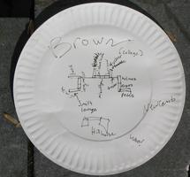
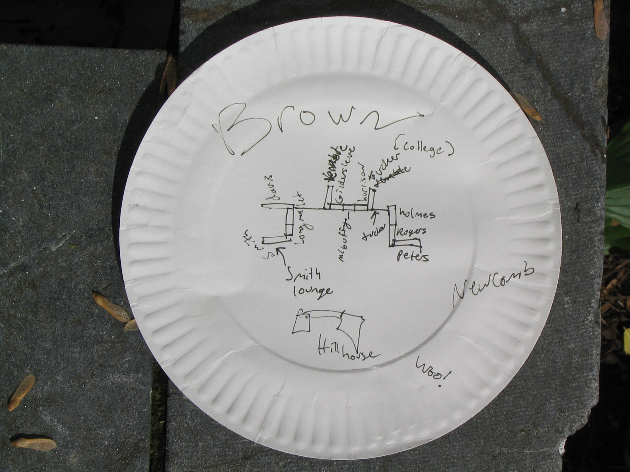
| A map of brown.
The first night I was in Brown, a few days early for Honor my second year,
I dropped by Tucker Lounge to find a few people. Rebecca Cullers, then a
third year, drew me this map so that I would know where what was :).
I think to my surpise, I found Brown wasn't a labyrinth of underground
tunnels, but one tunnel with a single short split-off. And, even for Rebecca,
a third year who had lived in Brown for a year or two, portals can be
confused for each other :).
(While this map was given to me in August of 2001, I took this picture
2004:04:27 outside of our apartment.) |